 |
Upper Table Rock
May 2010
Grants Pass, Oregon |

|
|
Upper Table Rock
May 2010
Grants Pass, Oregon |
|
|
We went for a hike to Upper Table Rock! |
The Table Rocks
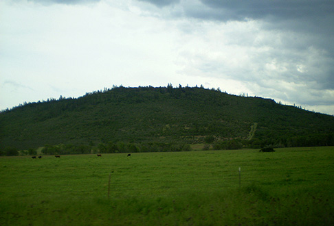
The Table Rocks, about 25 miles southeast of Grants Pass, are two mesas formed of volcanic rock. Around 9.6 million years ago a 20 foot high lava flow covered the land, which the Rogue River then flowed through. Over time the river wore down through the lava and eroded the softer rock below, leaving two raised plateaus known as the Table Rocks. They are designated as "Upper" and "Lower," with Upper Table Rock being upstream from Lower Table Rock. Both mesas are around 800 feet high, with an elevation of approximately 2000 feet.
The Table Rocks, jointly managed by the Bureau of Land Management and The Nature Conservancy, are sacred to the Tekelma people.
Upper Table Rock |

Lower Table Rock |
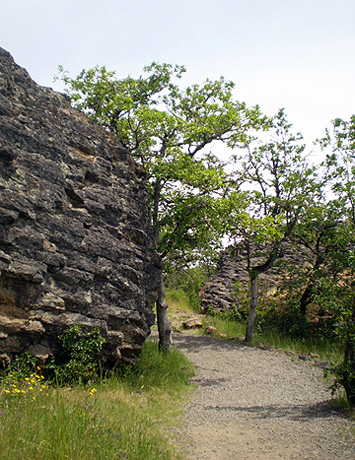
The Hike
We began hiking up the mile-long trail:

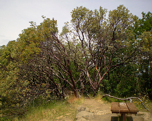
We passed through a densely wooded area full of manzanitas with their smooth, red trunks...
 |
 |
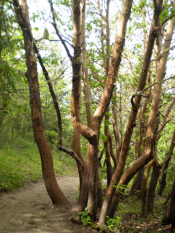
Through Madrone groves, with their smooth, light-colored trunks...
 |
 |
 |
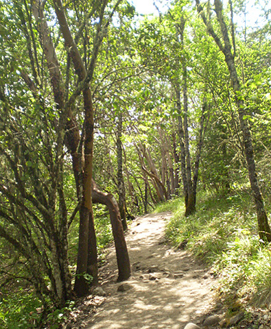 |
Past lichen-covered trees and dense undergrowth:
 |
 |
 |
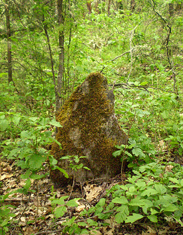
By moss-covered rocks and between basalt boulders:
 |
 |
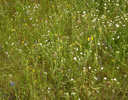
And past fields of wildflowers! (There is a whole page dedicated to the wildflowers photographed on this hike.)
The views were lovely. We could see Mt. McLoughlin, part of the Cascade range, in the distance:
 |
 |
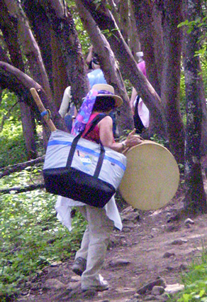
As we approached the top, Cynthia played the drum:
We made it!

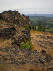
The top of the mesa is a large, beautiful meadow covered in wildflowers. Lava rocks dot the field, and you can see Lower Table Rock in the background:

The views from the top were wonderful!

Mount McLoughlin |

White City and the Cascade Mountains |
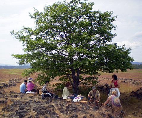
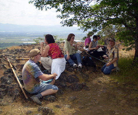
We picnicked under a tree...
|
|
Cynthia lead us to a cave on the side of the mesa. We had to navigate a steep path through poison oak:
 |
 |
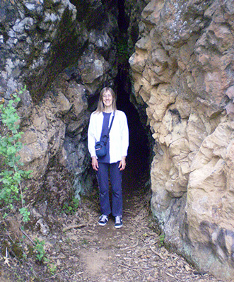
Entrance to the cave:
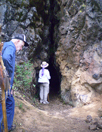
The cave was like a long hallway. After about 50 feet, it made a sharp turn to the left and dropped down 20-30 feet. We stayed in the hallway! We played the drum and said prayers and blessings for Mother Earth. It felt like being in the heart of the Mother.
Although it was pitch dark at the back of the cave, I aimed my camera toward the area of the drop-off, hoping to get a picture with the camera's flash. I took several shots. Upon viewing the pictures later, we discovered a face in the rocks above the hole. Look at the upper right corner of this photograph:

Pretty amazing!
More shots from inside the cave:

Looking out the entrance... |

Who's there? |

A tunnel to the right led to a window! |
Guess who!
We headed back up the path...
 |
 |
...and met at a grassy area near the top of the mesa:

It was time to cross the mesa and head back down the trail. What a great day!
 |
 |
Grand Finale
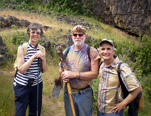
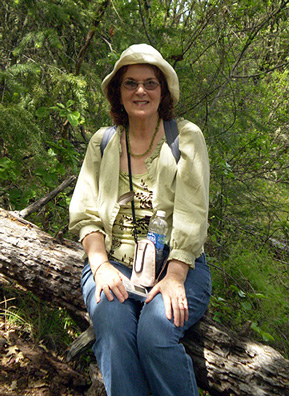
Shots of the hikers:
 |
 |
 |
 |
Group shot!

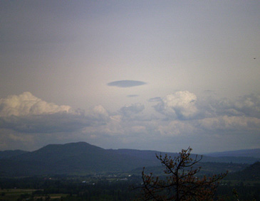
Interesting cloud formations:
 |
 |
Edith's Checkerspot Butterfly and a Scrub Jay:
 |
 |
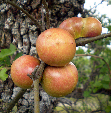
Poison Oak and Oak Galls!
 |
 |
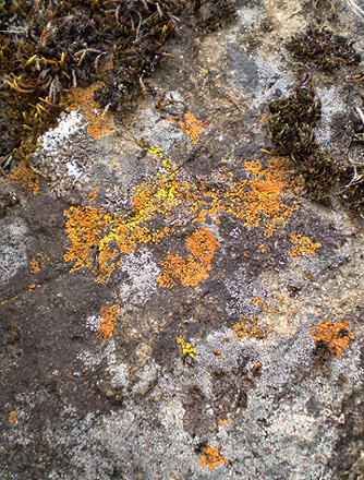
Lichen-covered rocks:
 |
 |
Lava rocks:
 |
 |
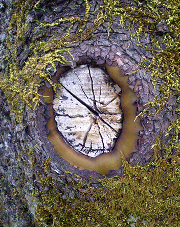
Tree knot shots!
 |
 |
We hope you enjoyed this visit to Upper Table Rock!
To see the wildflower pictures, go to Table Rock Wildflowers!
Or